The lighthouse near St Edmunds Point, between Hunstanton and Old Hunstanton. from where I started the correct route back to Thornham. It is situated on a very easily identifiable part of Norfolk and England’s coastline, at the point where the East/ West coastline turns almost ninety degrees South into The Wash. That rectangle of sea intruding diagonally into the Lincolnshire EastCoast, just above the pregnant bump that is Suffolk and Norfolk. Highly recognisable, but once you venture far from towns such as Boston, Hunstanton and King’s Lynn, very isolated and sparsely populated. The maze of inlets, sea banks and salt marshes, plus the not easily discernable coastline and the need to do a full days walk to get any where, mean the coast path is not overused.
Dear Rosie, Lauren, Stan, Jake, Rowan and Maisie,
I have to correct an error on one of my walks from Thornham to Old Hunstanton on April 20th 2016. Instead of taking the Norfolk Coast Path which I could not find , I walked into Old Hunstanton via the A149. The correct route is a National Trail through bird sanctuaries and along the Shoreline.
When I returned to Hunstanton last Wednesday (walking Day 172), I managed to find the correct start to the Norfolk Coast Path and decided the proper thing to do was walk back to Thornham along the path to the point where I had deviated. My conscience would then be clear; where I can walk the coast and it is a signposted National Trail, I should use it.I would not have bothered if this was not a National Trail. It all counts towards the overall mileage. It was seven miles and brings the grand total to 2346 miles. The remaining miles to complete hasn’t changed, and remains at 730 .
It was not without its problems , for the most part it is a bird sanctuary and being the nesting season various areas were roped off. Unfortunately this confused my ability to follow the proper path and I found myself heading inland and had to retrace my steps. Fortunately the tide was out and there was room to skirt the nesting areas on the sea side.


I was alone for the most part and unsure exactly where I was,and whether the roped off areas contained the exit to my route. Fortunately in the distance I could spy some walkers coming towards me, and as long as they hadn’t turned back there must be a way out ahead.


I was glad that turned out to be correct, and I headed off the beach through another sanctuary – NWT Holme Dunes.


The walk back from the beach was in parts duckboarded, and otherwise, a well constructed footpath threading its way through the tidal creeks and inlets
I hit Thornham and the serendipity button to make a coasthopper Bus appear to take me back to the car. Before leaving, I needed to visit the Old Hunstanton RNLI Shop for my Lifeboat souvenir.


RNLI Station at Old Hunstanton containing a conventional B Class Atlantic 85 craft and an Inshore Rescue Hovercraft, Hunstanton Flyer.. I think I’m becoming a Lifeboat nerd! Well, they are generally crewed by such lovely people and they are all volunteers, it is a worthwhile charity to support. Any way who knows when it might be me they are rescuing from some inadvertent battle with the tide .
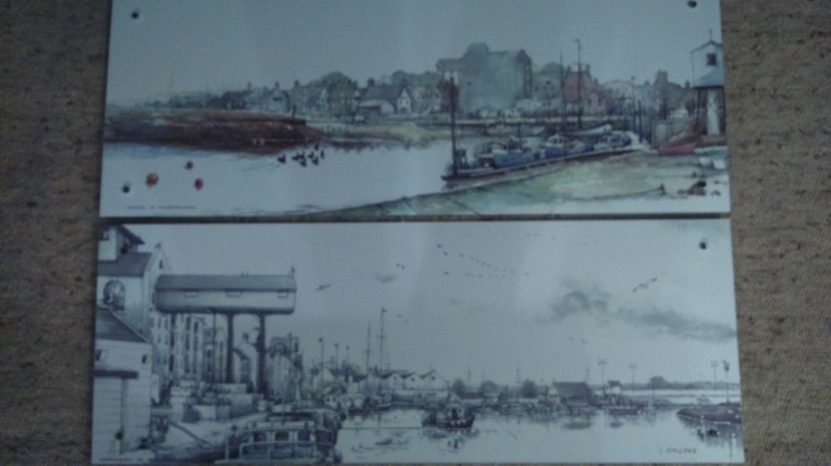
Sadly the RNLI facility was closed but I will return for my Lifeboat mug. Happily, next door, a café was still open and I went in for a coffee and came out with two souvenir pictures of Wells next The sea by local artist Ian Hallows,
Morning Mist – Wells next the Sea and Morning Tide – Wells next the Sea both featuring the very recognisable Granary Building in the Harbour