

Dear Rosie, Lauren, Stan, Jake, Rowan and Maisie,
The first time I walked round England…c’mon there may be others!…. things did not always pan out as I thought, and two areas have been playing on my conscience that I did not truly follow the coast.
The first miscreant, at Orfordness, was deliberately led astray by following the Suffolk Coast Path. There’s a strong clue in the words used – ‘coast path’. One could be forgiven for thinking one could walk such a path and have one’s foot in the water and the other relatively dry on the sand. But no! From Aldeburgh the path deliberately diverts inland to The Snape trying to avoid the River Alde. This River is a tricky blighter too, meandering along, giving every nonchalant appearance of exiting into the North Sea at Aldeburgh before it abruptly turns 180 degrees back on itself as if scared what it might meet. It then teases the shoreline for several miles refusing to enter the sea until it meets the River Ore and is swallowed up, as is the Butley River doing similar strange about turns until all three rivers slip sideways into Hollesley Bay. All this diversionary flow sliced off a huge chunk of land, mainly shingle, in the form of Ordfordness-Havergate National Nature Reserve owned by the National Trust.
Prior to that, The Atomic Weapons Research Establishment tested bomb detonation devices and other weapons, while boffins developed over the horizon radar systems and other top secret activities. Visitors were previously forbidden and security was tight. Even now people are warned to keep to strictly marked trails for fear of unexploded ordnance. It is quite eerie, but every so often you come across National Trust Volunteers telling you their experiences, as many worked here when it was active.
The National Trust run a seasonal ferry from Orford across the River Ore. My previous attempts at capturing Orford Ness were thwarted by arriving out of season. This time I caught the ferry across from Orford to the island and wandered around for several hours following the various trails, visiting displays and talking to volunteers about the history. These are so secret that a map is issued on arrival and collected on departure, as you are counted on and off the island. Actually that is not so much secretive as parsimonious. But I do have my photos……


The landscape is bleak with several old structures betraying its recent former history as a weapons testing establishment. The lighthouse is redundant and under separate ownership from the National trust.


The tracks through the various redundant buildings were carefully signposted, and I didn’t like it whenever I hadn’t seen a trail marker for a while, particularly on the shingle beach, every stray object had the potential energy of an unexploded bomb!


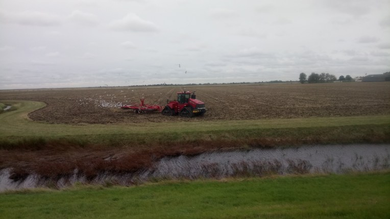
Finally preparing to leave the island, I saw other forms of ferry – a landing craft adapted for bringing vehicles and heavy loads over from Orford, and the ramp to facilitate this, looking back towards Orford across the River Ore, or is it the River Alde?
So, now having at last, visited Orfordness, I can relax about the security and feel I have done my best to keep to the coastline by keeping to The Suffolk Coast Path which eventually regains the real coast at Hollesley. Most of Orfordness remains out of bounds and I suspect that when Natural England define The England Coast Path here they will do not much better than the County of Suffolk have done with their route.
And now the Islands of Essex, particularly Wallasea Island….

Now of all the counties to have the longest coast line, you wouldn’t pick Essex, would you? Well, you should. But then they include many Islands, which then demand a complete circuit. I wouldn’t have left Essex yet, unless I enforced a strict Island policy on my England and now Wales Coast Walk. If ownership, access, time, tide, weather and route permit then each Island can be visited and mileage added to the grand total at my discretion.
Taking Essex’s major Islands here’s how access panned out.
Canvey Island; visited and walked the length to Canvey Point.
Foulness, Havengore and Potten Islands; guarded by QinetiQ- a dyslexic security firm, nearly impossible to access; got to be born there; but did manage The Broomway guided tour on Maplin Sands. It is a moot point that Natural England consider all three circumnavigable. Looking forward to the invasion and the battle with Qinetiq
Wallasea Island; considered by Natural England circumnavigable until you get half way round and have to come back because it’s not. I have the mud on my boots to prove it.
Northey Island; accessible and circumnavigable, and the natives are welcoming.
Osea; private Island unresponsive to pleas. Slightly stand offish.
Mersea Island; Accessible by road and exited by ferry
Horsey Island and Pennyhole Bay; tricky!
I suspect Essex will end up reducing its total coastline when the realities of possessive owners hit home. But the tidal inlets, outlets, mudflats, saltmarshes, sandbanks, lagoons and islands have all been recently reformed to provide a National Nature Reserve which will be well worth the slight disruption.
If you detect a slight attention bias in favour of Essex, who recently won the County Cricket Championship, by a county mile, then you’re quite right about the County of my birth; more specifically Rochford, at the centre of all these islands taking up so much unnecessary attention. Donald was also born in Rochford. Which makes it extra special.
More Wallasea pictures


Essex Yacht Marina nestled alongside the River Crouch – been here before to cross the River to Burnham on Crouch – or was it vice versa. Vera was left in the carpark in the shadow of a café which provided good company and even better coffee on my return. Interesting chat with Dave about the meaning of life and enjoying it. By all accounts, at seventy five he was in his prime, avoiding unnecessary exercise, like walking(!) but mixing with youngsters, and taking medicaments advisedly. Good on yer, Dave !


The end of the line!. All the clues led me to believe I could circumnavigate Wallasea Island atop the seawall. I walked to the easternmost point opposite Foulness, where the River Roach joins the River Crouch, to discover this breach in the seawall. Even I wasn’t prepared to brave that mud, and so turned and retraced my steps halfway back to the marina, before branching off to Grapnells and returning to Vera and the coffee.
I feel I’ve done walking justice to these Essex wildlife sanctuaries that are still work in progress, and maintained my coastline trail as far as the Authorities will let me. I will watch with interest to see the final route of the England Coast Path provided by Natural England. The same applies to Potten, Havengore and Foulness Islands, except the O/S Maps clearly define them as “DANGER AREAS”.

Will you be including Bardsey and the Pembrokeshire islands in your walk along the Welsh coast?
LikeLike
I am following the Wales Coast Path, so only if it does! Although if time and tide permit, I’ll review at the time.
LikeLike