
PROGRESS SO FAR….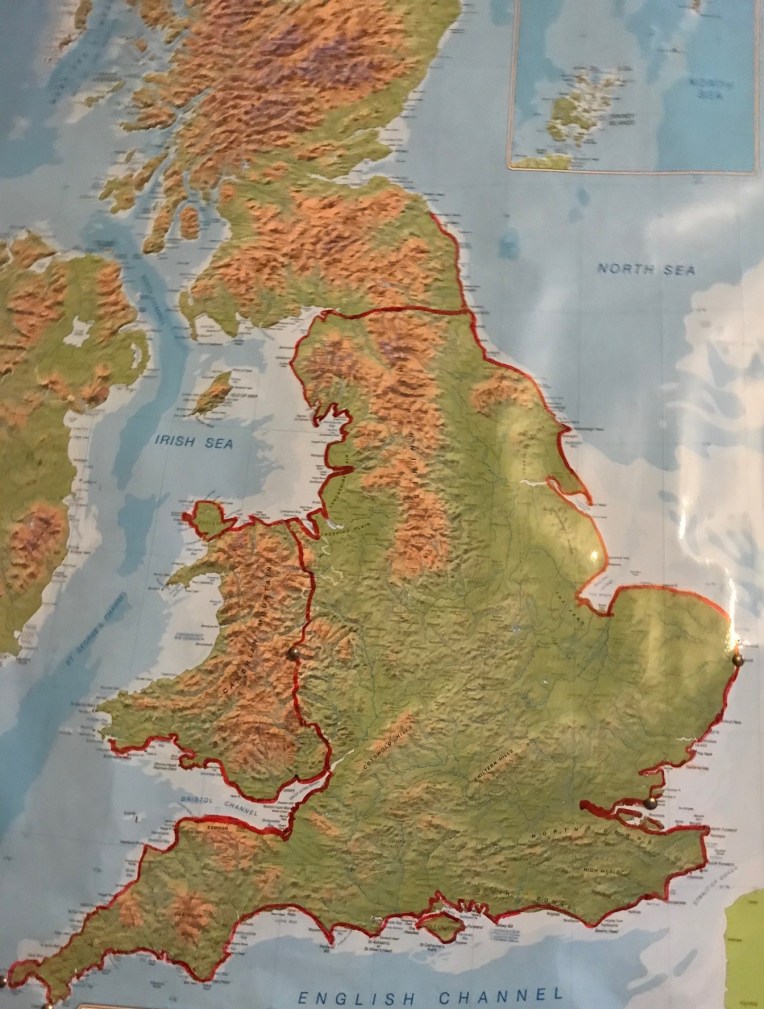 Map by courtesy of Ordnance Survey, with my completed route around Britain’s Coast Path highlighted in Crimson, 3,906 miles so far. Also included are internal boundary paths of Hadrian’s Wall and Offa’s Dyke.
Dear Rosie, Lauren, Stan, Jake, Rowan and Maisie,
The title sounds dramatic; well it was. There was collateral damage and losses, and it all took place over a two day visit by Nanny , Bobl and ZUD to the Wales South Coast last Wednesday and Thursday with overnight shelter in Tenby Premier Inn. Had I been on my own, camping sauvage, I think my tent would have drowned again, and even more equipment mislaid. As it was, Nanny and ZUD kept station as near as possible, alongside the Coast Path and I had a mobile bolt hole which I resorted to several times. But there were other times , when the horizontal rain struck without warning, the leeward side of modern plastic wrapped haystacks had to suffice as shelter, which I shared, not necessarily sympathetically on their part, with cows and new calves. I realised I could scramble up the bales if the mother’s got bolshie because I was keeping their babies awake
During these enforced interruptions, nostalgia fever kicked in as I tried to recall topical nativity experiences to aid my predicament, remembering my one and only stage performance as the ‘Red Indian’ (nomenclature permissible sixty odd years ago). To this day I have never encountered another Nativity Native American following the star in the East, nor The Wales Coast Path, for that matter. Nor was there a crib for a bed And it came to pass that although my acting career never got off the ground, at least my latest venture got to second bale, whilst the cows remained safely be – lowing…. and my soggy weather bush craft and tracking can only improve.
The target this trip was simple. Restarting at Freshwater East and make as much progress as possible along the Wales Coast Path, aka The Pembrokeshire Coast Path. Ordnance Survey Explorer Map OL 36 was in constant use, being double sided it would also take a pronged bashing and soaking – more later.
Start point Freshwater East – weather conditions deceptive below…..

Stackpole Coast – rugged
First rendezvous with Nanny and ZUD was at Stackpole Quay – below….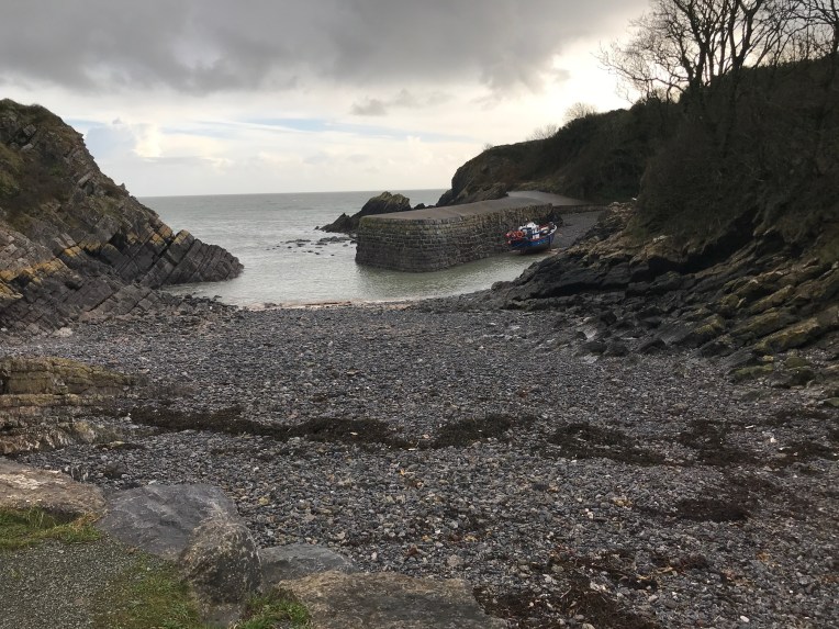

After which came Barafundle Bay and Stackpole Head – er – ahead – top left. Below its National Trust heritage
, 
Passing the Head and Stackpole Warren, I arrived at Raming Hole, heading for Broad Haven.
My next rendezvous with Nanny was inland at Bosherton. There were a variety of paths to take, dependent on tides, red flags and flooding. It seems I took all the wrong ones, adding a couple of unnecessary miles to the journey and a late lunch.
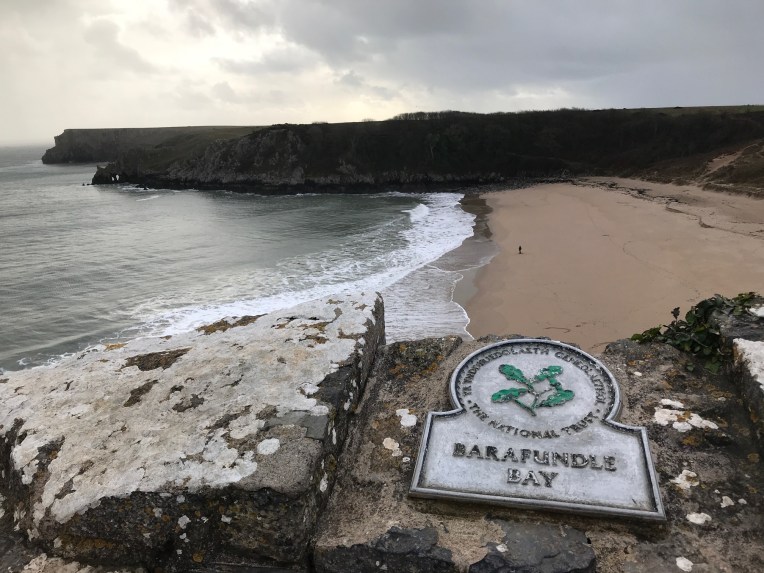
Below is my last known position before examining The Stackpole National Nature Reserve in much closer detail than I would have liked.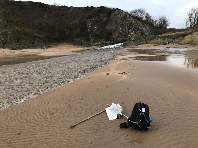
Much later I returned to this scene and turned left at the footbridge, instead of right – -which was the wrong answer. Whether it was getting lost here or subsequent difficulties, there are no more pictures for today. Suffice to say, I journeyed on after lunch by way of a series of footpaths defined by “Danger – keep out” warnings from the danger areas occupied by the military, mainly as a tank training ground – one assumes the personnel get trained as well as the tanks?
The light was fading prematurely, the clouds gathering until heavy rain started to fall and I was still in time for my next rendezvous which would mark the day’s end – for walking that is.
Until I arrived at Thorne, about a quarter of a mile short of rescue by Nanny. I passed Thorne Church as the lane swept round and down into the village, but I could not believe my eyes that told me the lane was flooded several feet deep, from side to side and for about fifty yards. I had no idea what was below the surface and had no intention of wading. I tried one house that had lights on to ask what was the way round this water feature. No reply. In fact eerily, there was no one around at all!


To one side of the flash flooding there was a heavily fenced field that if I could surmount the substantial hedging, posts and barbed wire, I could outflank the water and climb a similar fence/hedge to bypass the water. Let’s mention it was now raining heavily and the hedge, although quite holely, still held gallons of water. I had to climb aboard by prostrating myself and wriggling through brambles and thorns, to fall over the other side. Where I discovered the field was quite boggy. At least it was a soft landing. But it took a while to wade to the other side; and even longer to repeat the hedge mounting procedure to get out of the field, and the landing this time was not so soft.
I was now late for my rendezvous. Not to worry. This is what my brand new mobile phone was meant for. Call Nanny!
After several minutes by which time I had examined all of my 37 pockets in detail, twice, I sadly came to the conclusion, I had one less phone than I started with . But at least I knew it was somewhere between here, where I was standing and there where I had first tried my luck at hedge climbing, and possibly somewhere in the boggy field I had just traversed.
Despite my excellent torch, I wasn’t in a fit state to start searching and decided to find life somewhere in the village preferably with a phone. I gave some guy a severe fright by knocking on his window while he was wrapping presents, and he willingly lent me his phone to contact Nanny. In minutes we were back in contact and I was travelling rapidly to my next hot shower. Phoneless.
I concluded the phone wasn’t lost. I knew it was somewhere in that field- or maybe in the hedge? No problem!
Guess how day two started? Phone hunting!
Within minutes of remounting the hedge, I found what I thought was a car’s broken wing mirror. On closer examination it turned into my phone!
The rest of the day passed blissfully passing through Castlemartin and finishing walking at Freshwater West.
Just to prove the camera still works after a cold night in a farmers bog, view on….
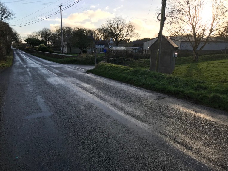
Side road to Thorne
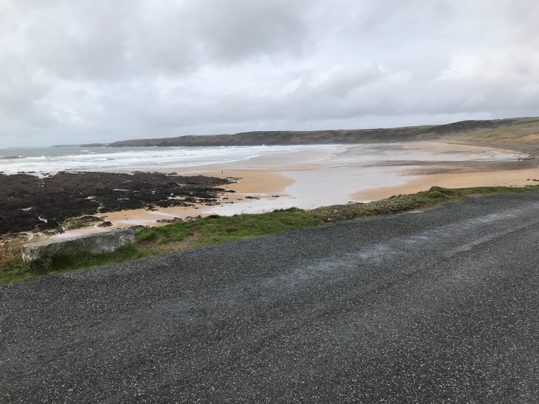
Freshwater West – end of the walk for now. See you next year?
