
Dear Rosie, Lauren, Stan, Jake, Rowan and Maisie,
A quick trip to Barmouth by Bobl and Nobby and one overnight camping puts the northern crimson worm in favourite position to get to Aberystwyth first.
Progress Map – Walking round Wales
The white spot indicates I haven’t moved the southern crimson worm any nearer St David’s recently……
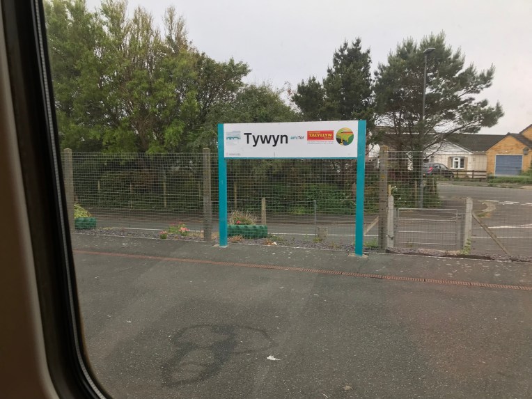
……Whereas the northern crimson worm has reached Tywyn and closing in on Aberystwyth. The slight hiatus around Tynwyn includes a previous excursion to climb Cader Idris, which is not yet on the coast, but global warming might sort that out.
I used my oldies railcard and the train to link Llanbedr, Fairbourne and Tynwyn. The rail track mirrored the WCP and also the stations provided free parking quite legitimately and logistics proved straightforward
 The southern crimson worm (the white dot), is still stranded short of St David’s. Better get moving otherwise it’s a walkover for the North.
Nobby and tent at Bwlchgwyn Camp Site with views over Barmouth Bridge
Crossing the Barmouth bridge after leaving the campsite
Barmouth RNLI boathouse and Sue in the gift shop. Another mug for the collection


Off the road at Llanaber and proper coast walking getting wet


Morgan Dyffryn nature reserve
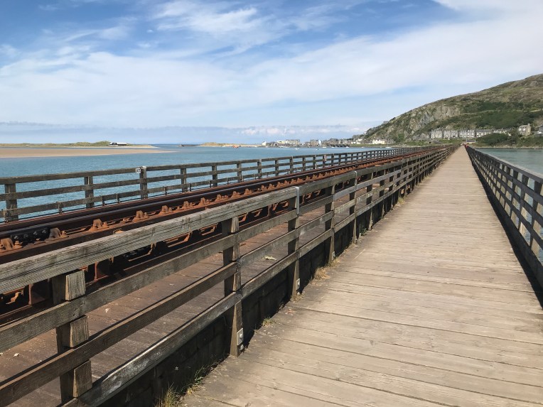
Crossing Barmouth Bridge by train


The railway features large in this episode


Clever editing…Fairbourne beach with road and rail fighting for space – the WCP gets shifted inland


These close ups of the bush show what happens when you lose the path – short cuts . Vertical routes. And bramble rash. Break our the Elastoplast .


The WCP retreats in land a lot whereas the railway and main road hug the coastline, I much prefer getting as near to the waves as possible – l must go down to the sea again……- I get unsettled if I’m out of sea sight. To me it’s not proper coastal walking unless you feel the sand between your toes, or boots soaked by rogue waves that take you by surprise. Anyway a visit to the Tonfanu Quarry to witness the decline of industry and derelict workings was fascinating


The final stretch approaching Tywyn gave views back over the Tonfanu Quarry, high point 178 metres right below
And left below, looking down on the rail bridge and footbridge over Afon Dysynni


And so to Tywyn and I’m ready to finish but not before driving to Aberdovey and recce-ing the shortest river crossing. It seems the map takes a very long inland estuarine detour when a perfectly respectable “ferry” from Aberdovey would cross the river in minutes. I’m asking the local sailing club for help- conveniently placed alongside RNLI Aberdovey!
Overall progress walking round Britain’s coastline below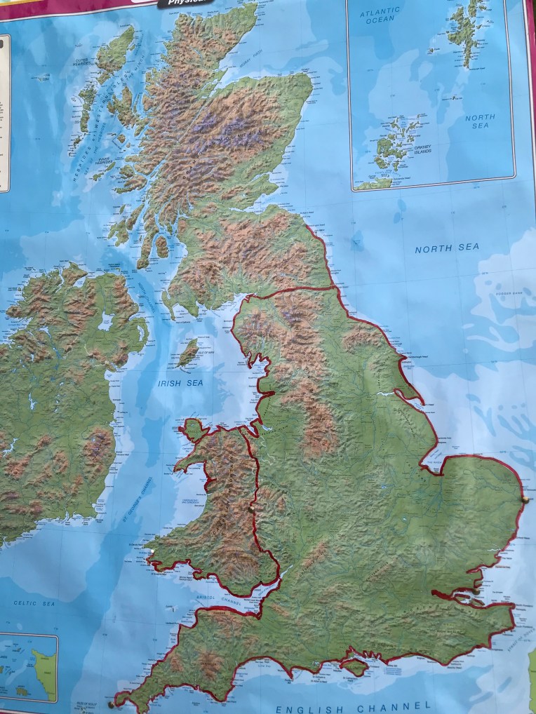
Even more unfortunately for the south, our visit to recce Aberdovey today has paid off. It would seem there might be plenty of takers to stand in for the missing ferry service – it’s been missing these last 30 years! And the ferry refuge is now gone, so that means a trek inland will not be necessary. I might organise that while the going’s good.
